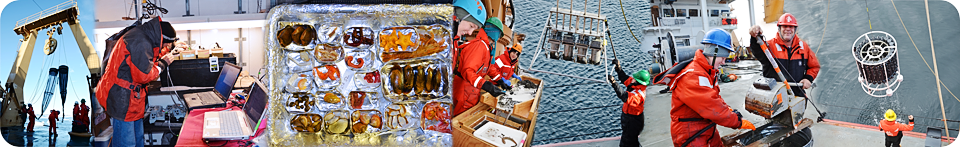
After two years of sampling, this project produced more than 50,000 sample results measuring 200 variables and 400 taxa at 130 locations.
Find project sampling data archived at NCEI at:
https://doi.org/10.7289/v5gx48mn
Currents, ice velocity, temperature, and salinity data from moorings around Hanna Shoal are archived at:
https://accession.nodc.noaa.gov/0163833
For your convenience, you can download sample results in ArcGIS, Excel, or CSV format using the following link.
Field sample results (22 MB) (updated October 11, 2016)
Shipboard sensors routinely and automatically collected data during the 2012 and 2013 cruises. These data have not been quality controlled, and in many cases are not an integral part of this ecosystem study, but are provided nonetheless in case the data may be of use to the public.
A CTD measures conductivity, depth, and temperature in the water column. Supplemental
or derivative properties such as salinity may be included as well. Data are collected
on a fine time scale, e.g., every second, as the sensor descends and is then pulled
up through the water column.
CTD sensor data (348 MB)
Raw meteorological data collected by ship sensors is provided via the link below.
Meteorological sensor data
(207 MB)
Additional shipboard sensor data for the two Hanna Shoal cruises, HLY1201 and HLY1301,
may be found at the Rolling Deck to Repository (R2R) website at
https://www.rvdata.us/catalog/Healy.